|
|
|
|
|
|
|
|
||||||||||
|
|
||||||||||
|
||||||||||
 |
 |
 |
||||||||
 |
 |
 |
||||||||
|
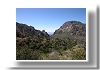
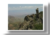
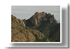
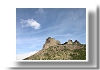
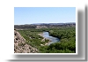
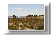
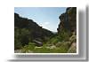
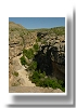
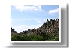
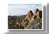
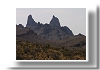
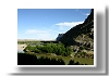
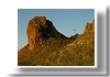
as seen from Pinnacles Trail |
||||||||||
 |
 |
 |
||||||||
|
|
||||||||||
 |
 |
 |
||||||||
|
||||||||||
 |
 |
 |
||||||||
|
|
||||||||||
 |
 |
 |
||||||||
|
|
||||||||||
 |
 |
 |
||||||||
 |
 |
 |
||||||||
|
|
||||||||||
 |
 |
 |
||||||||
 |
 |
 |
||||||||
 |
 |
 |
||||||||
 |
 |
 |
||||||||
 |
||||||||||
|
|
||||||||||
 |
||||||||||
|
|
||||||||||
 |
 |
 |
||||||||
 |
 |
 |
||||||||
 |
 |
 |
||||||||
 |
||||||||||
|
|
||||||||||
 |
||||||||||
|
|
||||||||||
 |
 |
 |
||||||||
 |
||||||||||
|
|
||||||||||
 |
 |
 |
||||||||
|
|
||||||||||
|
|
||||||||||
 |
 |
 |
||||||||
 |
 |
 |
||||||||
|
|
||||||||||
 |
 |
 |
||||||||
|
16 April 2006 |
||||||||||
|
|
|
|
|
|
|
|
|